
OBSERVING THE LOCAL AREA
Three dimensions of one local picture
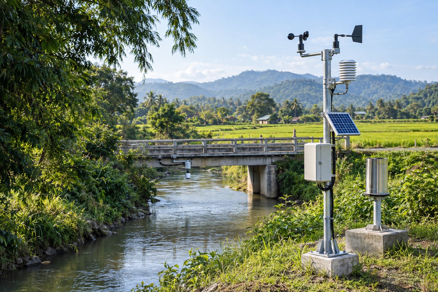
Select sensors, siting and measurement intervals for local needs, with calibration and maintenance plans.
Weather
Rainfall, temperature, humidity, wind and pressure help describe changing local weather conditions.
Water
Surface and groundwater levels, flow and water quality such as pH or turbidity, depending on installed sensors.
Environment
PM2.5, soil moisture and other environmental observations from selected equipment can support community monitoring.
THE PROPOSED DATA JOURNEY
From a measurement to an informed response
- 01
Collect station observations
Record station identity, time, units and location, alongside device health.
- 02
Check data quality
Check duplicates, anomalies and gaps. A silent station must not be treated as an absence of risk.
- 03
Send data for AI-assisted analysis
Combine observation history with local context to assist trend and anomaly analysis, while stating limitations.
- 04
Staff review the findings
Check findings against agency-defined criteria and authoritative information before approving communication or assigning work.
- 05
Monitor, warn and manage
Summarize the situation, coordinate field teams and share approved information through Baan Rao and other channels.
- 06
Follow up and improve
Record outcomes, errors and feedback to improve criteria and system quality.
INTENDED APPLICATIONS
Earlier insight. Better-informed planning
Water monitoring
Consider rainfall, levels and catchment context together to identify areas for staff review.
Environmental awareness
Follow water or air-quality trends, checking data quality and time coverage before publication.
Resource management
Use evidence to prioritize field inspections, station maintenance and water-management planning.
Effective warning systems connect risk knowledge, observations, communication and preparedness. Read the reference framework: WMO Early Warnings for All