
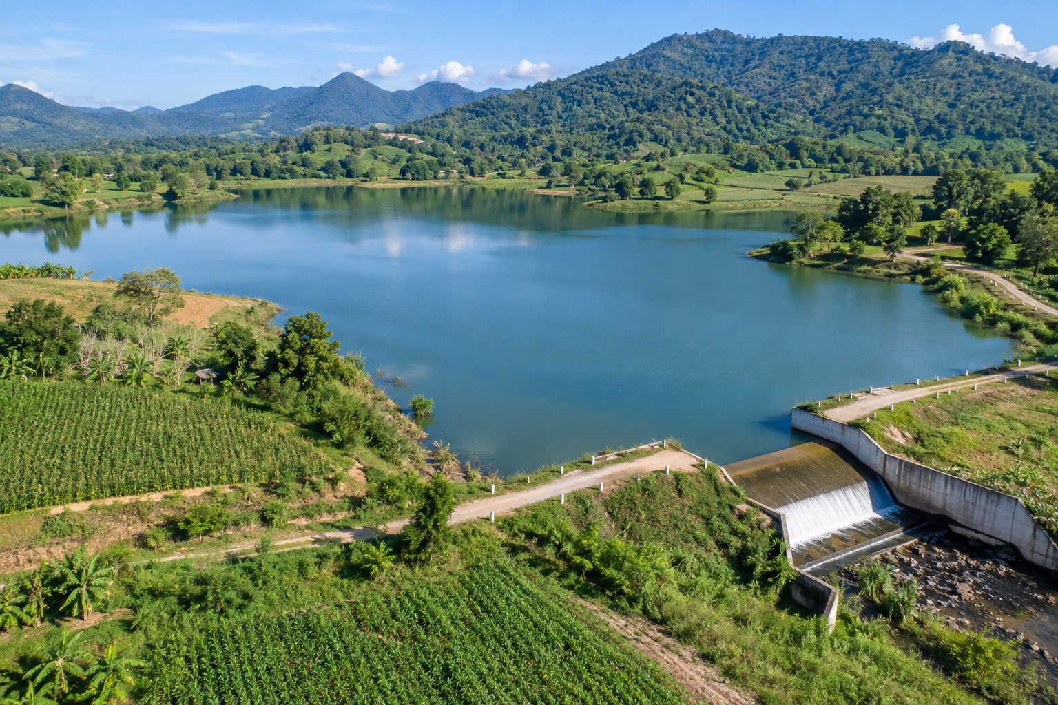
A SHARED GEOGRAPHY
See the whole system, through wet and dry seasons
Atmospheric, surface, soil and groundwater are connected. Planning starts with a defined boundary, period and traceable evidence.
Basins and maps
Connect basin levels and management zones with waterways, storage and water-use areas in one geographic context.
Survey what exists
Register sources, streams, canals, cross-sections, obstructions, monitoring stations and supply systems with field photographs and evidence.
Land parcels and beneficiaries
Link land parcels and beneficiary areas to sources and water budgets for land-use planning without publishing individual household data.
RELATIONSHIPS / TIME / QUANTITY
Three tools that belong together
Water system diagram
Show where water comes from, flows, is stored and is used. Connect sources, infrastructure, users and bottlenecks.
Water calendar
Align wet and dry seasons, water-use periods and annual operations with events, responsible teams and action dates.
Water budgeting
Organize inflows, outflows, storage, use, reserves and losses by boundary and period, with data sources and assumptions.
FROM EVIDENCE TO ACTION
A master plan that carries through to action
- 01
Define the area and objectives
Identify the authority, catchment, communities, responsible staff and shared problems.
- 02
Survey and review evidence
Collect source, supply-network, waterway, quality, risk and use evidence with dates and sources.
- 03
Analyze and prioritize
Use the diagram, calendar and budget to review demand, reserves and urgent problems.
- 04
Review with the community
Review local observations, beneficiary areas and impacts before finalizing a plan for approval.
- 05
Act and coordinate projects
Connect interventions to responsible teams, budgets, readiness evidence and relevant project modules.
- 06
Monitor and revise
Record outcomes, maintenance, changing conditions and handover evidence for the next planning cycle.
DAY-TO-DAY WATER RESPONSIBILITIES
Care for sources, supply systems and risk
Water supply and use
Review raw water, production, distribution, meter and user evidence alongside domestic needs and seasonal agricultural context.
Storage, recharge and maintenance
Storage and recharge registers, observations and maintenance history support continuing care based on local surveys.
Flood, drought and water quality
Bring together risk areas, event history, problem locations and obstructions for monitoring and reviewed interventions.
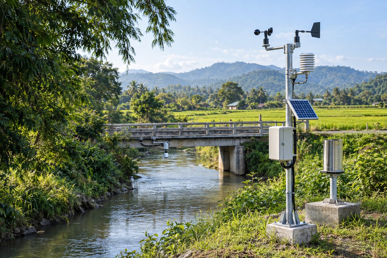
LOCAL OBSERVATIONS
Connect observations to water management
Measurements need time, units, location and quality information. IoT and AI integration extends analytical support, with staff reviewing findings before communication and decisions.
Explore IoT and AIAI-generated editorial illustration
INFORMATION FOR THE COMMUNITY
Baan Rao connects water information with members
Baan Rao is the central app connecting members and local authorities through information and participation. Shared water information should be reviewed, dated and sourced, with community observations feeding back into local work.
Discover the Baan Rao app